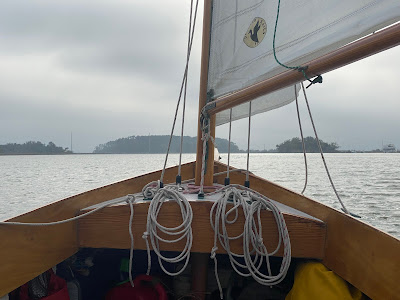
1 - Casting off from Beaufort it was the beginning of the ebb tide, a helping tide that carried me down the Beaufort River.
2- Passing Parris Island Recruit Depot (I could hear reveille playing) the ebb tide was running and we were making 6.4 knots, the wind was good but some of the speed came from the tide.
3- Approaching Parris Island Spit and the mouth of the Beaufort River the tide was strong enough to pull crab pot markers nearly under the surface, I would guess this was full flood tide. As I rounded the spit I could no longer feel the tide, maybe I was in the "shadow" of Parris Island. Once around the spit on to Port Royal Sound it was full ebb tide which can run at a couple of knots. With the light wind at that point I could only hold my own against the tide and not make any progress up the sound. So I motor sailed across the sound to Skull Creek.
4- Near Dolphin Point there was swirling water and a tide line. Once I crossed the tide line I could not at first feel any tide.
5- Passing Skull Creek I could once again feel the tide, an incoming tide, water flowing from Port Royal Sound into the creek and helping us along the way.
6- Off Windmill Harbor a helping tide but it was hard to tell as the wind was very good on the port quarter and we were making 5.0.
7- On Calibogue Sound approaching the Cooper River both crab pot markers and boat speed told me that it was a flood tide, water coming up the sound and we were sailing against it.
8- Once on the Cooper River that very same flood tide was helping us. Before rounding the corner into the river the tide was against us, once around the corner it was with us and we were making 4.4.
So you can see the tides are an interesting part of sailing the lower Mid-Atlantic. If there is any decent wind I found I could sail against most of the tides just fine. And if it was a helping tide, well that made for some nice sailing.
There are a few places along the way, mostly man-made cuts connecting creeks and rivers, where I could not sail or even motor against the tide. I'll get to those places in another post.


Interesting info Steve. A friend down in NW Florida, sailing on Santa Rosa Sound, told us when the tide is against you you have to make sure you don't get rear ended by a channel marker or buoy.
ReplyDeleteYears ago I sailed a lot on the ICW between Southport, NC and Beaufort, NC. The tidal current would reverse as you passed each little inlet along the way. Somehow I managed to time it so the current would be against me for most of the time between inlets no matter what I did.
ReplyDeleteIsn't that the way life seems to go? I have only once timed a tide and that was transitting the Chesapeake and Delaware Canal. I was able to ride the incoming tide from Chesapeake City, Md. and reach the head of the tide in time to catch the outgoing tide the rest of the way to Delaware Bay. The tide changes were so constant in South Carolina and Georgia and didn't bother to look ahead, just sailed and took whatever came my way. Steve
ReplyDeleteGreat info, and timely. Yesterday I timed my departure from Cumberland Island to catch the last of the ebb to the mouth of the St. Mary’s River, then headed up the river as the flood started. With the tide current and the southeasterly winds it was a sleigh ride all the way up the river to St. Mary’s.
ReplyDelete