
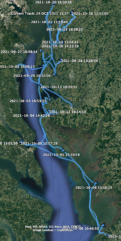
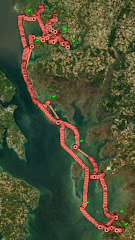
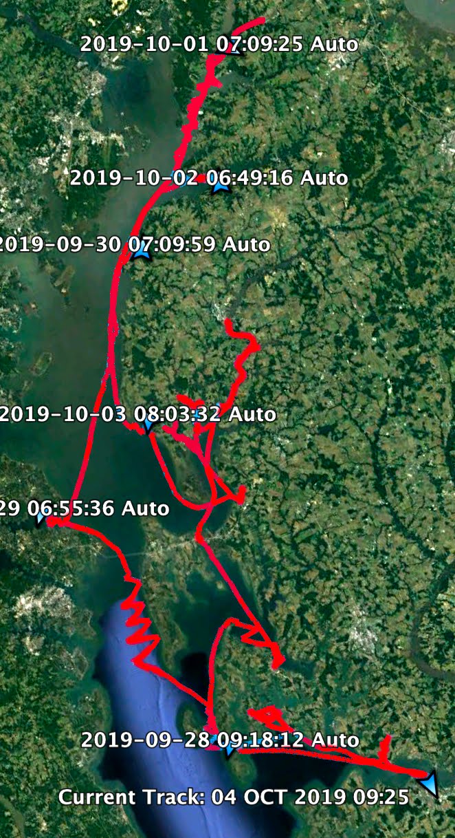
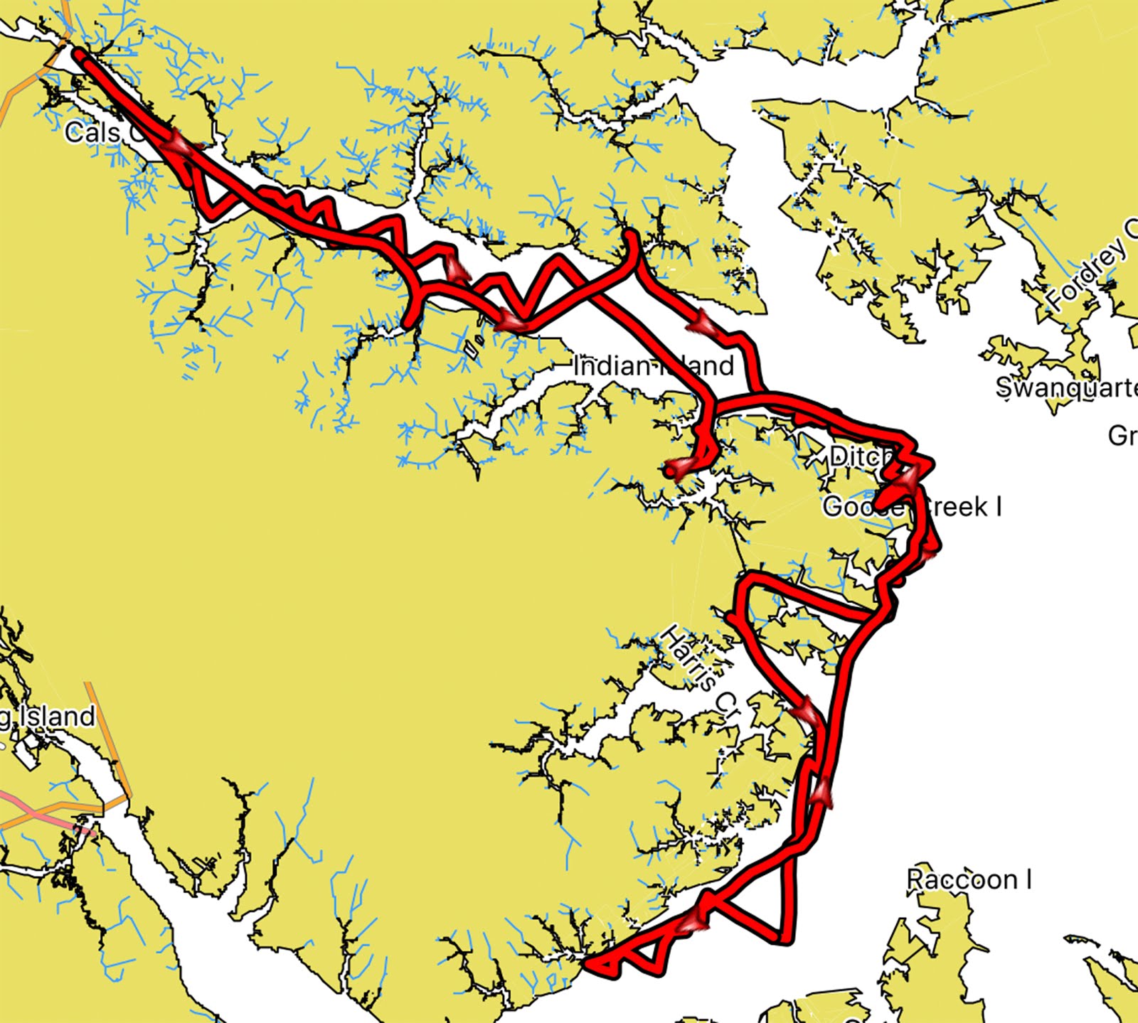
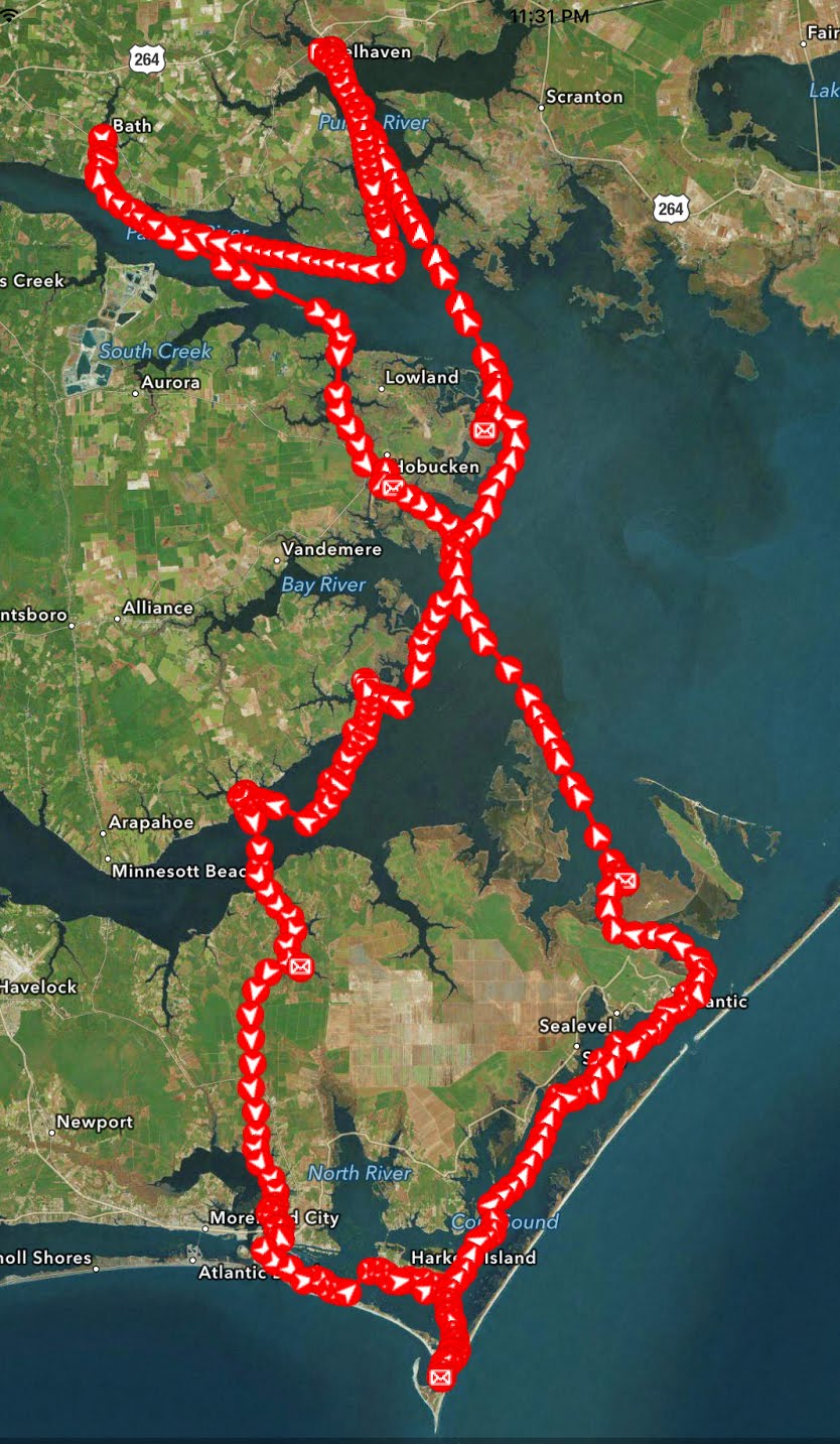
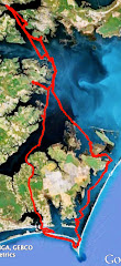
Windy, rolling night on Crescent River. Steady and strong north wind was 90 degrees to both flood and ebb tides. Still slept ok. Sail off anchor 7:30 under mizzen and jib.

Low overcast, cold, wearing dry suit and several layers. 3.7 to the Front River. 7:40 round up and raise double-reefed main, 4.0. 8:00 a gust and gps shows 5.4, then back to 4.4 as the gust moves on. 8:35 crossing the top of Doboy Sound. 8:55 making 1.2 in the confused water above Commodore Island.
9:10 a tug and barge coming up the channel. More commercial traffic on this sail than all my other sails down here combined. Cling to the red side as tug goes by. 9:20 past Commodore Island, 3.0 kts.

Look closely at the gps and Navionics as twice I've made wrong turns just below Commodore Island. Two years ago with the bright sun rising to the east I mistakenly turned east only to find myself surround by marsh. Last year I followed a marker to the west only to realize I was heading up the Darien River. 9:45 making 4.5 through the narrows to the south finding the markers to be small floating markers with shoaling on the red side.

9:50 less wind, 4.1 through the marsh grasses.

10:40 round up in a gust. 10:50 Red 198, entering Altamaha Sound. A series of strong gusts, round up and bring down the double reefed main. Making 5.2 under mizzen and jib. Choppy, confused water on the way to the Altamaha River.

Heavy dark grey overcast and chilly, 11:30 4.5 and then 5.1 with gusty winds at Green 213. In the last hour we've sailed south, southeast, southwest, northwest, southwest and then south again. With the low clouds and no hint of the sun I seem to have lost my sense of the direction. I've got a compass and gps but I'm just following red and green markers. Sail through tiny Buttermilk Sound before realizing it, then past Fridaycap Creek before recognizing one of my past anchorages.
12:40 past Wally's Leg, my anchorage last year, and my sense of direction seems to be coming back to me. 1:50 turn north under power into the wind and into the ebb tide into Jove Creek. Drop the anchors but quickly see we are sliding backwards in the full ebb.

Motor back north and position SPARTINA in shallower water, put the anchors out - the 5 lb plow, 10 feet of chain, and 10 lb mushroom anchor as a sentinel - and wait to I feel it bite into the mud. Run out plenty of scope then watch the gps to confirm we are holding ground. Anchor set 2:00.
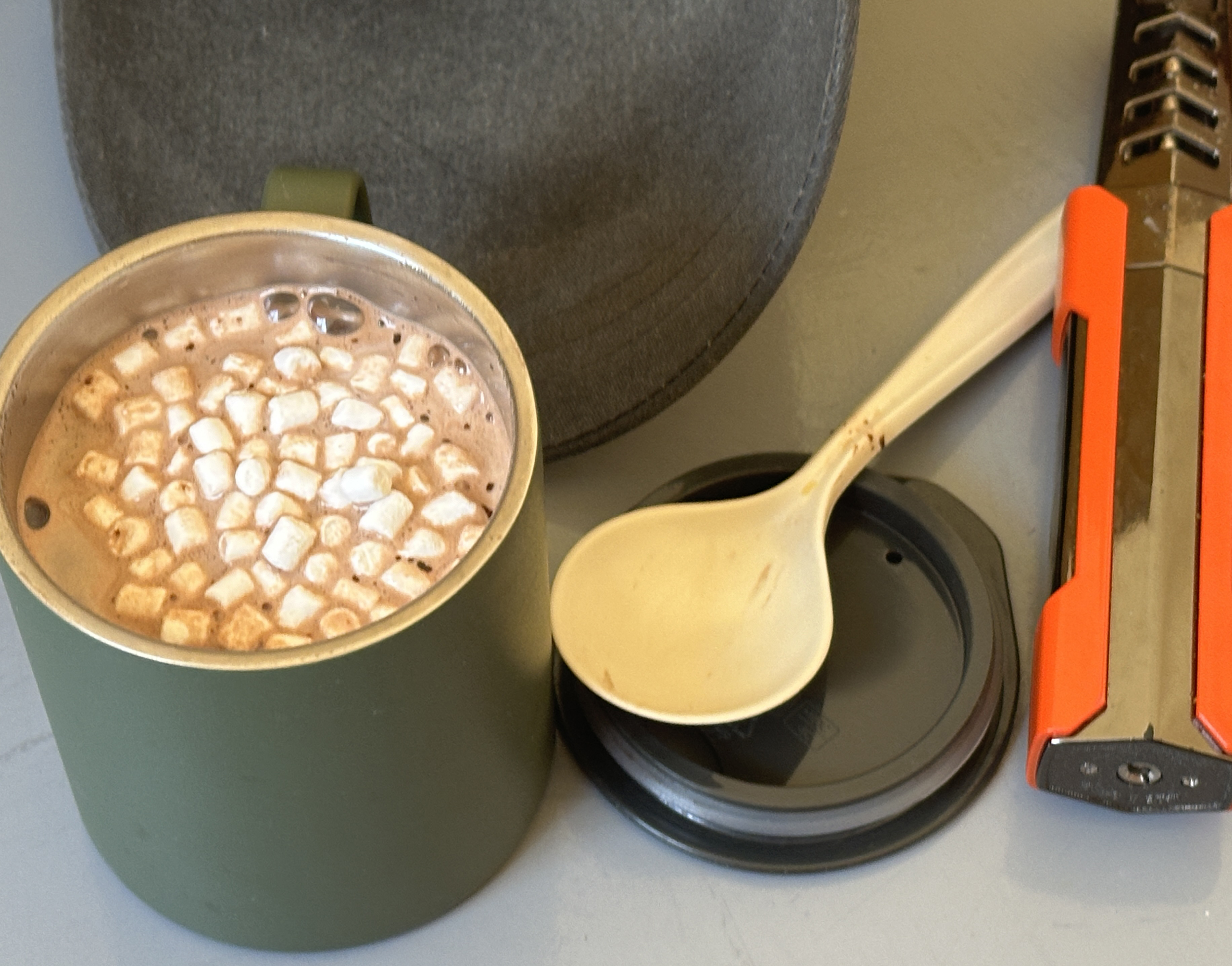
A hot cocoa to warm the afternoon. Skies beginning to clear but I am hearing from friends in Florida of a large storm crossing the state.

I check radar to see that it is sliding just south of us. Skies begin to clear.

After dinner, I look south and see the storm's clouds glowing in the evening light. I check weather one more time to confirm the weather will stay south of us. It will.

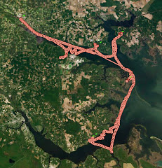
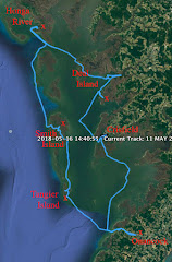
24.95 NM


No comments:
Post a Comment