Thursday, April 27, 2023

rough at the dock, SPOT problems


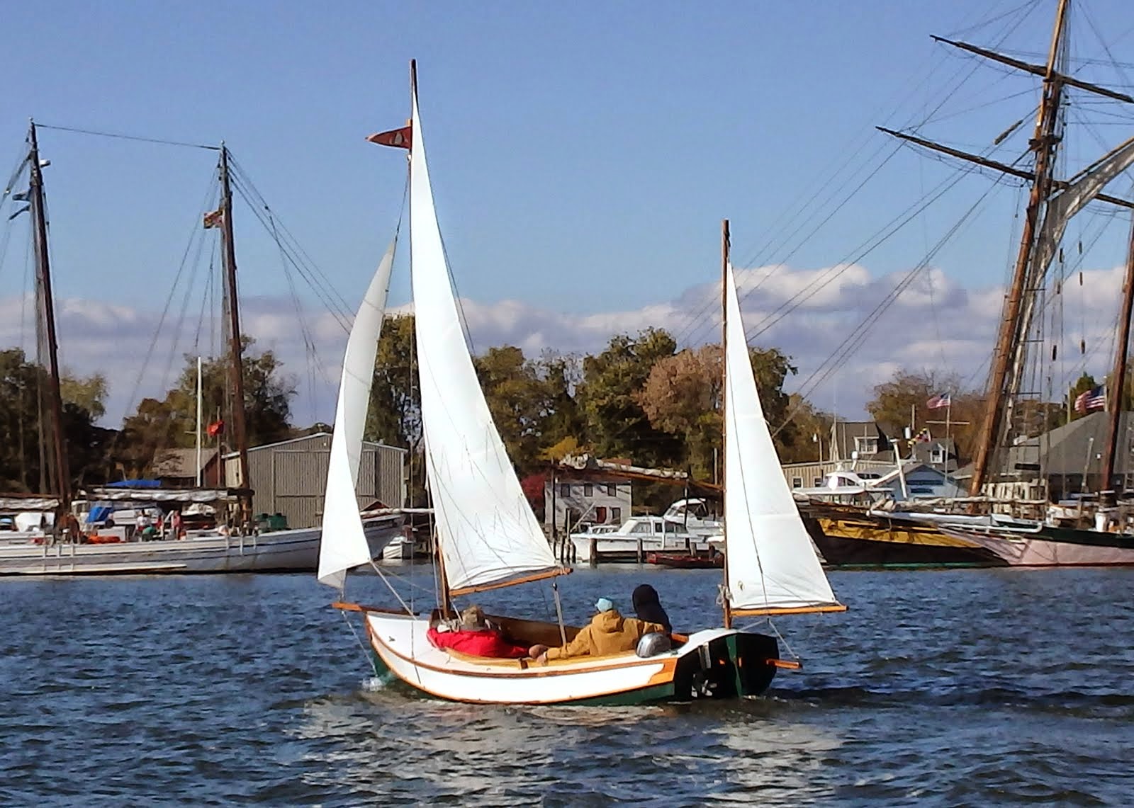
Remind me not to tie up behind the Schooner Virginia next time they are testing out the diesels by throwing the schooner into gear.  Then again, maybe all that high pressure water cleaned the bottom.

---------------------------------------------------


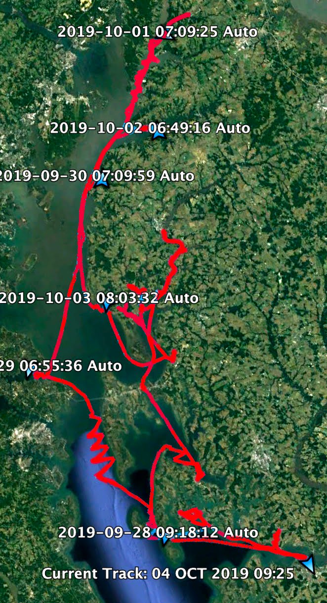
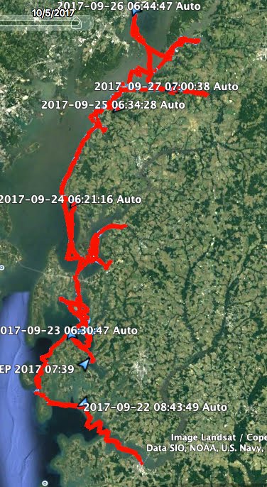
Prior to the winter trip I decided up update my SPOT Gen3 tracking device.  For some reason it would not accept the update.  I called their technical department and they talked me through downloading the logs of my attempted updates and had me email the logs to them.  About a week later, while I was sailing south on the ICW the tech adviser called to tell me that the Gen3 had a defect that could not be fixed.  To solve the problem they offered to sell me a new Gen4 device for about $50.  Sounded like a good deal.

The Gen4 was waiting for me when I returned home.  Opening the box it appeared that the device was not new, there was a scuff mark on the cover and the black screws on the battery plates had silver scrapes from someone using a screwdriver to open the plate.  Hmmm.  Maybe they sent me a refurbished device.  As long as it worked, what do I care?

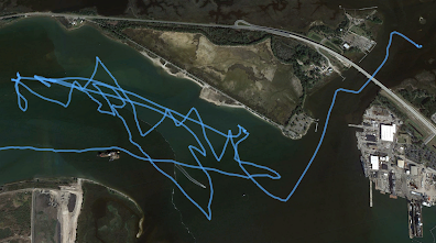
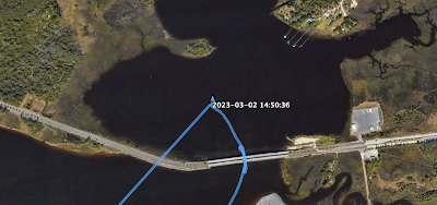
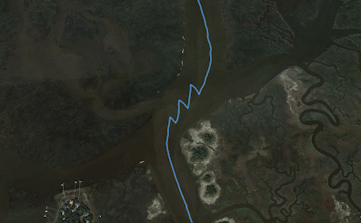
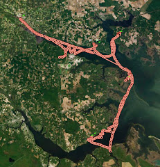
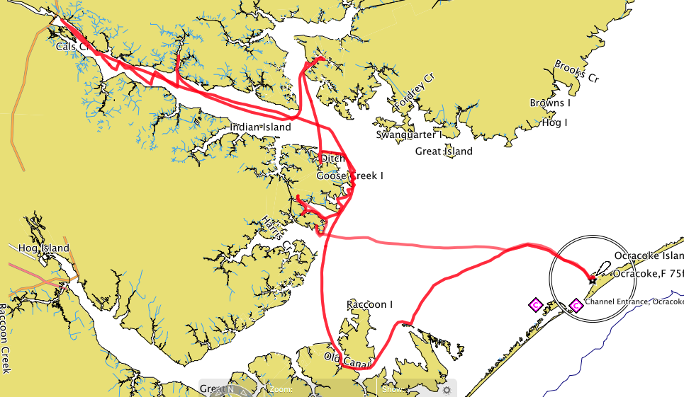
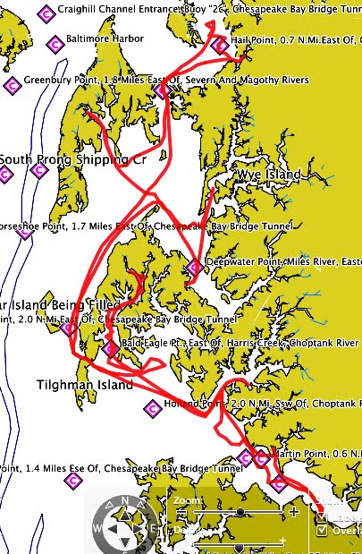
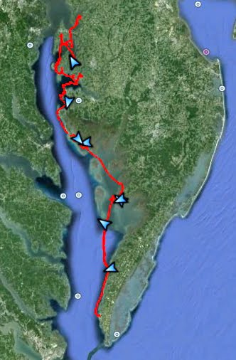
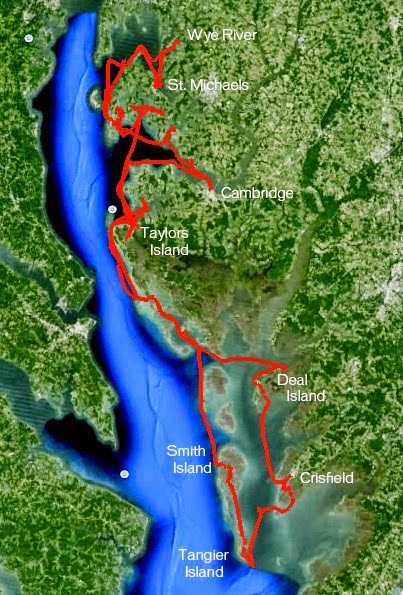
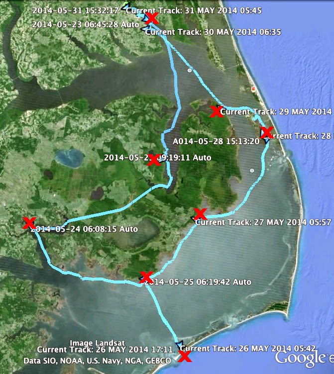
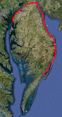
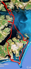
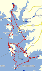
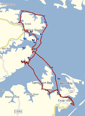
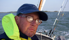
Well I found out testing the last three days that it does not work.  I sailed three days in a row with the device mounted on the centerboard trunk where I have long kept my SPOT devices.  The device recorded some data points but certainly not all.  Yesterday I did about a two hour sail and above is the track the device recorded.  It shows a few marks, each five minutes apart, and then there is an hour and a half gap that was not recorded.

I called SPOT last night and they said clearly there is a problem with the device.  Interestingly when I described it as a refurbished device they said they do not sell refurbished equipment.  Again, Hmmm.

After I described the appearance of the Gen4, the scuff mark and the scratched screws, they said they would send me a new (really new) device in time to test it out for the spring sail.   Hopefully it will arrive in a few days and I can give it a test run.


people along the way

One of the true joys of sailing a boat, one that I built to get away from people, is the people I meet along the way.  Sometimes it is a very brief meeting, a minute or two, and sometimes it is a much longer interaction.


Pete, who lives in Charleston, has been a good friend for a few years now.  He has given me some good advice about the waters down south, and this past winter he was kind enough to store my truck and trailer while I was sailing to Florida.  I always enjoy getting together with Pete for a pizza and a beer.


I met Kelli early in the morning in Isle of Hope, Georgia.  I took a not very good photograph of her on a paddle board.  She responded with this wonderful photograph of SPARTINA.


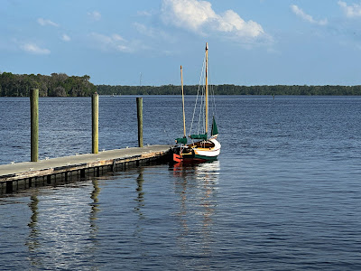
Bobby in Palatka, Florida really saved me when I found there was no room at the marina for my boat.  He very kindly offered to let me leave SPARTINA at his dock while I took the train back to Charleston.


The crew of PHLYER out of Philadelphia sent me this nice photo of SPARTINA leaving the anchorage at Wally's Leg (great name, don't you think??).  In a text they offered to pick me up and tour Fernandina Beach with them that evening.  Unfortunately I could not make it that far that day.  Maybe I'll cross paths with them later.

And of course Webb, who hosted me in Hilton Head for a couple of days, has been a good friend for maybe a decade now.  


It is funny who you meet when you build a boat to get away from people.


Saturday, April 22, 2023

day twenty - no room at the inn


A bouncy night with a southwest wind pushing chop into the cove.  Finally calmed down early morning hours.  Drift off anchor at 6:50.  Motor at idle speed on glassy water.


7:55 wind, and the flood tide is with us.  Making 3.2 just after 8:00.


It's the last day and I'm in no rush.  Slow sailing is fine with me. 


A low overcast  but I look to the north and see blue skies .  Better wind at 9:45, making 3.7.  


More wind, steady and solid, making 4.6 than 5.5.  Noon wind goes away, suddenly very hot.  Motorsailing.


1:35 wind fills in from the east, 2.3 and the breeze feels good.  2:05 round Forrester Point, the Palatka bridge in sight.


I motor past the free public docks and find them wrapped in yellow warning tape with signs saying stay away.  I call the marina asking for a slip, leave a message but get no immediate response.  There are two finger piers near the bridge and I tie up there just after 3:00.  Soon a man walks down the pier and asks me is my boat is a Drascombe.  I laugh and say no, thinking of Webb telling me (for years now) that SPARTINA is just a wanna-be Drascombe.  I visit with the man for a few minutes and then he heads off.  I get a return call from the marina telling me their docks are full.  This is bad news.  I need somewhere to leave SPARTNA while I take a train to get my truck and trailer.  I text the marina saying the boat is small, I don't need much space.  A return text tells me there is no room for me.

I grab a late lunch at Angel's, the classic old diner just a couple blocks from the water.  I'm trying to figure out where to leave the boat.  I walk to a hotel that has some docks.  The woman there says the rules are that the docks are for guests only, but then says she is not much at following rules.  So maybe yes.  There is the finger pier but I'm not sure if it is for overnight use and there is no security.  So my backup plan is the hotel marina, they aren't great docks but they will work.

Evening I motor over towards the marina to see if just maybe there is a little space for me, why not make one more appeal.  As I near the marina I see a man on shore wave at me from the backyard of his house.  And his house is on the water and there is a nice pier there.  I turn towards the dock and start waving back.  Soon the man stands up and I realize that he was enjoying time in a hot tub with his wife.  Not great timing.  As he gets near I also realize that he's the guy that met me at the dock earlier asking about a Drascombe.  

I come along side the pier and explain my dilemma.  I just need a place to tie up while I head to Charleston.  "How long?" he asks.  Just one night I tell him.  And he says of course I can leave my boat at this dock.  He says his name is Bobby and he shows me the best place to tie up, right in front of his trawler-style boat.  I thank him, tell him I'll anchor out tonight and be back at his dock tomorrow.  

I motor away, set the anchor and rig the boom tent and sleeping gear.  And I go to sleep thinking about people I have met on my trips, and how kind they have been to me.

27.56 NM


Thursday, April 20, 2023

day nineteen - don't forget to check the wx apps


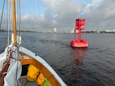
Raise sails with a single reef in the main at 8:00 near red marker "80" which clearly shows a flood tide in our favor.  Making 4.7 but doesn't feel like it as the current is doing a lot of work.


The sail through downtown Jacksonville always feels strange to me.  There's the football stadium to the right.  Then there's a Ruth's Chris Steak House to the left, and if that is not a favorite steak house then there is a Morton's to the right.  Just beyond the Morton's is some sort of outdoor mall.  And the four bridges, one of them this morning being part of the course for a 10K or maybe marathon run.


Soon making 5.8 with the tide.  Leaving downtown at 8:30, turn south on the St. Johns River.


Very choppy as the river widens but less wind, round up to shake out the reef.


Making 4.6 and the water calms the farther we get from Jacksonville.


9:50 look back north and see dark clouds over Jacksonville.  This surprises me as I had check my weather apps the night before it is only showed a little early morning rain.  


Dark clouds begin moving in from the west, a little rain so slip on foul weather gear and tuck a reef in the main.  


10:25 hit with a cold blast of air, round up, tide in a second reef then decide to sail under mizzen and jib.  Heavy rain and making 4.7 in the cold gusts.  Finally check my weather app to see that the forecast changed and a wide swath of rain is sliding across Florida.  


11:05 less rain, round up to pump out SPARTINA.  Back to sailing making 3.5.  Raise double reefed main, less wind and making 2.0 to the south.  12:50 no wind, motoring at idle speed.  2:20 north wind fills in, sailing to the east as river bends in that direction.  3:25 rain seems to have moved on, anchor down in Hallowes Cove.  Wind swings to the south and a little choppy in the cove but not too bad.  Sponge out the boat and set up boom tent.

24.44 NM
self heating beef stew for dinner


Monday, April 17, 2023

day eighteen - a weather day


A weather day with gusts to 45 mph forecast.  An excellent day to be tucked behind Exchange Island.


A little cleanup today, repacking an organizing.  Catch up on the log book.  Hot chocolate, hot tea.  And the chance to drift off into that space somewhere between not quite awake and not quite asleep.


Friday, April 14, 2023

John Welsford design database

I just borrowed this photograph from Enrico's blog from a spring sail.  What caught my attention is that I believe the photograph shows three John Welsford-designed Pathfinders.  How nice!

Here is a googled translation of Enrico's log for the day:

4-05-22 Tuesday. High pressure. Still sun on the skin, still Sirocco wind in the sails. After a fairly quiet night (except for a gust of wind around 3 that causes a bit of awakening) and the usual hearty breakfast comes the usual and important moment of breefing, in which Lorenzo explains the plan of the day with any variations. For today it is planned to reach the Piscine di Molara, and then head west to the Sassi Piatti and then to the northwest to reach Porto San Paolo, the only place where it will be possible to do some shopping and replenish the galleys


Welsford designs are on my mind this morning as Lorenzo, builder of the beautiful Pathfinder ASTRID (I believe that is her at the right in the photograph), has created a database for Welsford boats.  Below is the information.  I have already added SPARTINA to the list.  If you have a Welsford design please consider adding your boat to the database.  It would be interesting to see how many Welsfords are being sailed around the world.

From Lorenzo:

The idea is that if you want to participate you can simply fill in

your data on a google sheet form and that will be used to update the

google worlwide map.

Indeed for privacy reasons you can be jsut providing your initials and

a very loosely accurate long/lat position.

I will regularly update the map from the google sheet.


Here's the link to the google document:

https://docs.google.com/spreadsheets/d/1F0TweAKKWxROj3afnIIKOQdWvRzdi__Nd2xgy2FMLp8/edit?usp=share_link (https://docs.google.com/spreadsheets/d/1F0TweAKKWxROj3afnIIKOQdWvRzdi__Nd2xgy2FMLp8/edit?usp=share_link)


And here's the link to the map:

https://www.google.com/maps/d/edit?mid=153r6ywaognCUaPk_1KO6xoEi46pXxJw&usp=share_link (https://www.google.com/maps/d/edit?mid=153r6ywaognCUaPk_1KO6xoEi46pXxJw&usp=share_link)
Wednesday, April 12, 2023

day seventeen - a bit of a mess


Wake early, break down the boom tent and rig SPARTINA.  The light west wind and ebb tide carry us out of Sisters Creek, under the bridge and on to the St. Johns River.


Out on the St. Johns River at 7:40.  Light wind and opposing tide.  Struggle to make any headway.  A container ship comes around the bend, we fall off to make room, lose ground in the outgoing tide.  And so it goes for the next hour and a half.  Make some ground, another ship, fall off, lose ground.  A handful of ships and little room in the channel.  Finally get a break, no ships and slowly sailing west.  The dredge that has been working down river decides to bring a load of spoil up river.  Plenty of space between us and I fall off to the south.  Five toots on the dredge's horn tells me that was the wrong choice.  I jibe back to the north, fall off and clear the way.  The wind carries us to a little beach area next to the entrance to Sister's Creek.  I drop anchor, decide to wait things out.


11:00 better wind, anchor up.  Get a nice tack going under full sail, making 2.7 against the tide.  12:15 two ships, one headed down river the other headed up river, I fall off onto Back Creek to let them pass. 12:35 back on the St. Johns.  12:55 off a ship terminal see we are losing ground to the tide.  Jib and main down, under power.


2:45 it is hot and I'm tired, looking for an anchorage.  Slip under a small bridge and power lines into Dunn Creek.  Drop anchor and look around.  Don't like the scenery, don't like the low bridge and power lanes.  Bottom seems muddy and I worry about high winds forecast for tomorrow.  


Anchor up at 3:00 and leave the creek.  The St. Johns turns southwest and then south, good angle on the wind.  3:20 green marker "59" shows the ebb tide still running.  Better wind late afternoon.


The tall buildings of Jacksonville in sight to the south.  Best wind of the day and making 4.8.


Pass under a couple of bridges and fall off to port, tuck in behind Exchange Island.  Anchor down 5:15.


15.44 NM

Mashed potatoes and beef gravy


Saturday, April 8, 2023

day sixteen - the final sound


A pleasant night on the Amelia River, the sounds of rushing tide and industry humming on shore.  Sail off anchor 6:50.  7:45 tacking against the tide to round the marsh as the river curves west.  Reach Fernandina Beach Day Beacon and turn south with wind on the beam, 3.0.  Beautiful, cool morning.


Near Piney Island at 8:45 and a handful of tacks to round the bend in the river.  


A very hard current running as we pass under the rail trestle and bridge, use the outboard to nudge us through at 9:05.  Wind picks up, tuck in a reef at 9:40.  9:55 green "25" shows the tide now is with us.  Making 5.0, doesn't feel like it.  


11:00 sail out on to Nassau Sound, the final sound out the trip.  I find myself wondering how it wall went by so quickly.  Not home yet but getting close.


Heading for south for the Nassau Cutoff I see a shoal to port and fall off.  Checking the chart on my phone I see I had missed a marker to the east.  No worries, raise the cb and rudder a little and continue on my way.

Enter Sawpit Creek 11:25.  Tide now against us, motor sailing, getting a good draw from the sails.  Soon trees block the west wind.  Main and jib down, motoring down the creek.    Anchor down surrounded by oyster reefs in Sister's Creek 1:45.  One sailboat anchored to the west.   A large power boat comes in and anchors just to my east, too close I think.  Soon they raise anchor and move further up the creek.  I set up the boom tent to get out of the sun.  Take a nap and then read.


21.99 NM

Granola with blueberries and almonds and milk


Friday, April 7, 2023

day fifteen - crossing the line


Wind howls all night long, particularly in the early morning hours.  At least it is a west wind so I think that I am good to head south.  Cast off 8:45.  Passing Jekyll Point to port I find it is too gusty and rough to sail.  I take a battering under mizzen and jib, realizing that the wind is more out of the southwest than I had expected and can't make heady in the chop. Bring down the jib and begin motoring across the sound.


9:30 cross a tide line on to St. Andrews Sound, calmer on the other side.  


9:40 believe I see a second tide line ahead.  Just as I approach I see it is not a tide line, it is a shoal.  I swing the outboard to reverse and let the wind blow us off the shoal.  I raise the center board a little and reset the rudder, drifting east until I find some deeper water.  


It is a long hard morning, strong gust winds out of the southwest and choppy water.  Heavy overcast and we motor into the building wind to reach the Cumberland River.  


11:00 the sun breaking through.  Noon near Cabin Bluff the river turns down wind and I finally sail under mizzen and jib, making 4.1 in the strong winds.  


12:10 raise a double reefed main.  Too much wind on the stern and soon bring down the main.  Mizzen and jib, 4.8 with a helping tide.  


12:45 pass the southern entrance to the Brickell River.  1:10 making 3.0 against the tide.  1:30 gusty winds off Kings Bay.


2:00 raise double reefed main.  2:25 shake out the second reef.  Too many markers at the entrance channel to Kings Bay and I loose the channel in the confusion of red and green.  Soon find my way back to the channel.


3:30 cross into Florida with Fort Clinch to the southeast.  Dark clouds hover above but I can see clearing skies coming.


Anchor down 4:20 mouth of the Amelia River.


27.75 NM
Chicken and pasta casserole